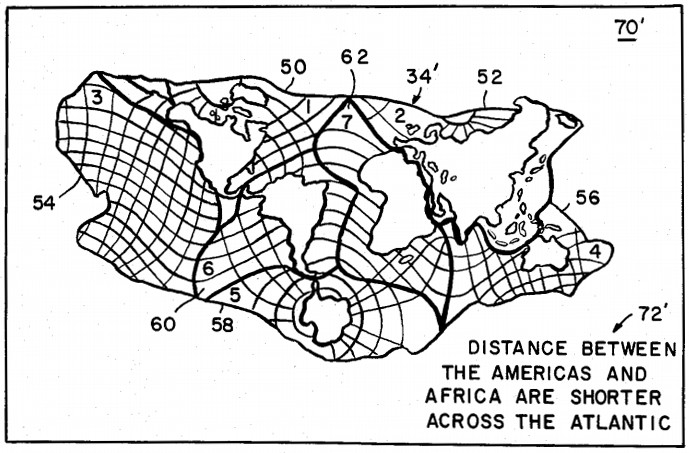
Because we live on land, we tend to make maps in which oceans are afterthoughts, mere spaces between the continents. In 1986 oceanographer Athelstan Spilhaus sought to remedy this with a cartographic puzzle in which seven pieces can be combined in various ways, each presenting “a different, but equally valid, viewpoint of the features of the earth.”
Above, they’re arranged to show that “the land masses of North and South America, on the one hand, and those of Europe, Asia, and Africa on the other, are maintained in associated groupings, while the vastness of the Pacific Ocean has been set off to the left of the map.”
But the same seven pieces might be rearranged to illustrate the fact that “the Pacific Ocean widely separates Asia from the Americas.”
In 1942 Spilhaus had also devised a world map in which the oceans take the forefront, reminding us that Earth is “a water planet, with a single great ocean covering nearly three-quarters of its surface.”