In 1967 German filmmaker Arno Peters promoted a new map of the world in which areas of equal size on the globe appear of equal sizes on the map, so that poor, less powerful nations near the equator are restored to their rightful proportions.
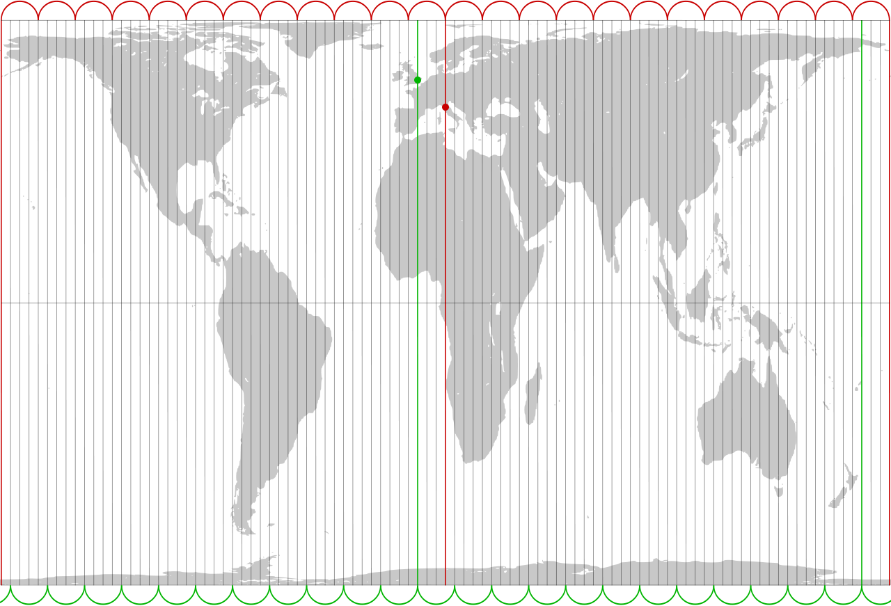
Peters promoted the map by comparing it the popular Mercator projection, which is useful to navigators but makes Europe appear larger than South America and Greenland larger than China.
Peters’ goal was to empower underdeveloped nations, which he felt had suffered from “cartographic imperialism.” But his own map badly distorts the polar regions — cartographic educator Arthur Robinson wrote that its “land masses are somewhat reminiscent of wet, ragged, long winter underwear hung out to dry on the Arctic Circle” — and observers noted that Peters’ native Germany suffered less distortion than the underdeveloped nations he was trying to help.
To quell what they felt was an ill-founded controversy, in 1990 seven North American geographic organizations adopted a resolution urging media and government to stop using all rectangular world maps “for general purposes or artistic displays,” as they necessarily distort the planet’s features. That included both Mercator’s and Peters’ projections.
Peters’ map wasn’t even new. It had first been proposed by Scottish clergyman James Gall — who had noted in 1885 that “we may obtain comparative area with mathematical accuracy” by using this projection, but “we must sacrifice everything else.”